Multi-Spectral Aerial Imaging Systems
Multi-spectral imaging involves using a camera with multiple lenses to capture 4 different bands of light as well as RGB imaging for a multi-layered product specifically designed for analyzing plant health and growth patterns. Multi-spectral first became popular in the agriculture industry as the sensing technology became significantly cheaper over the last decade or so. The deliverables from these sensors can be used to map chlorophyll concentrations, compare and contrast plant health and growth over any period of time, determine plant health and photo-synthesis production in order to conserve nutrient and water resources in agriculture, and detect disease before it spreads.
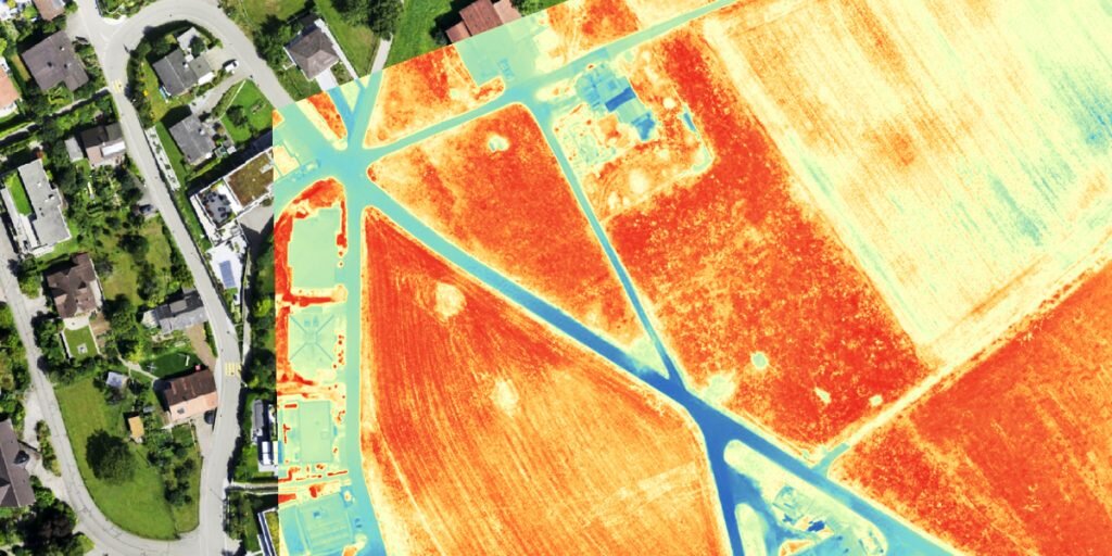
Multi-spectral scans can also be used to locate forest fires and manage forest fires. Much like a thermal imaging camera, a multispectral camera can detect hot spots burning under the surface of the forest floor. Although thermal cameras can be very useful for other firefighting applications, multi-spectral is much cheaper to run and paired with the right drone can be used to map and analyze many hundreds of acres in a single flight. The new mica-sense Altum combines both multi-spectral and thermal imaging to add even more value to this application.
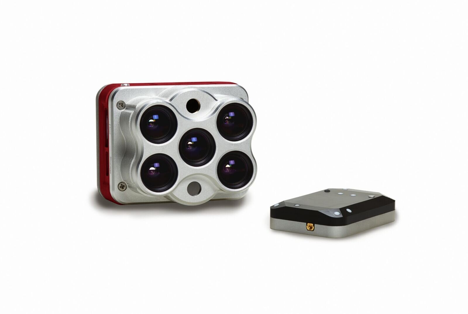
We will employ one of two systems when bringing multi-spectral imaging solutions to your business. The first is the Micasense Red Edge-MX multi-spectral camera. This camera captures 4 bands of light and is the baseline for vegetation and crop health analysis. The second is the brand new Micasense Altum. The Altum captures thermal information on top of the 4 bands of light captured by the MX. This drastically increases the range of applications for the camera and can be used to find hidden waterways, map crop exposure or even map regions where ongoing firefighting operations are taking place to check for hotspots.


