A6000 Based Mapping Camera
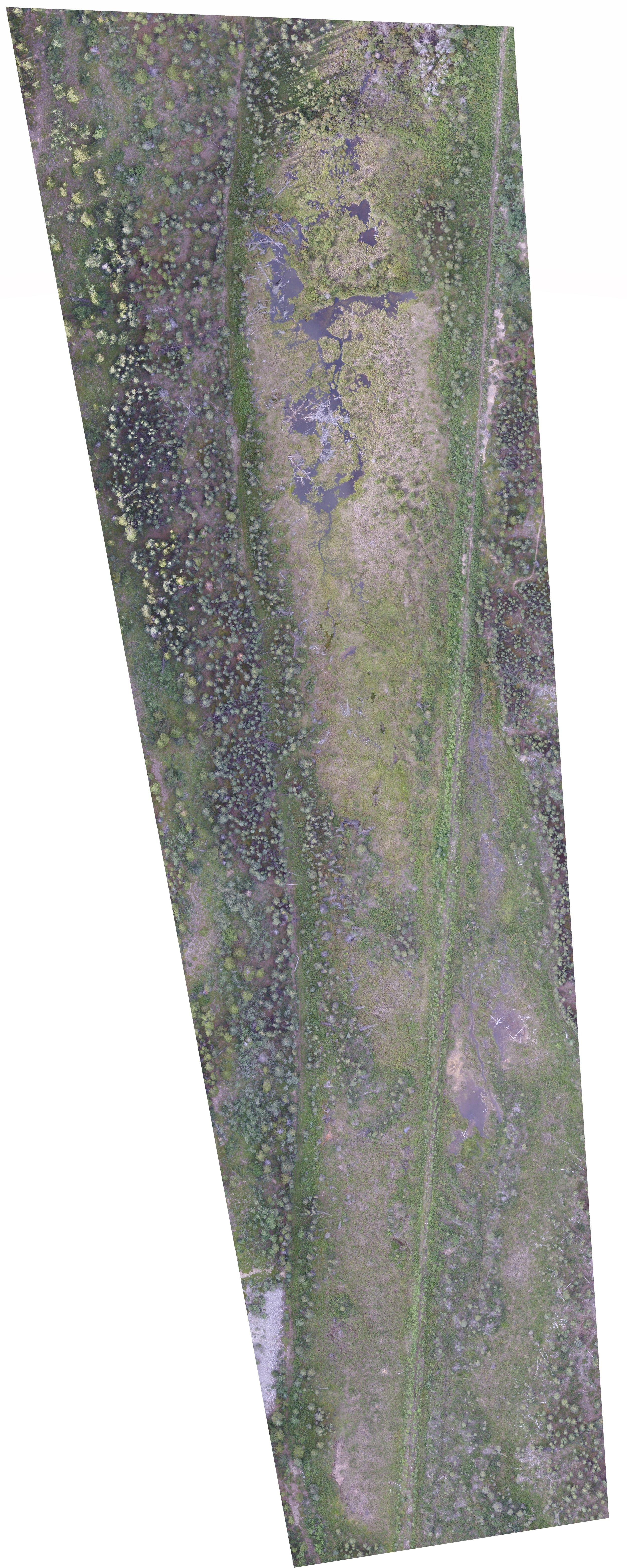
An orthophoto, orthophotograph or orthoimage is an aerial photograph or image geometrically corrected ("orthorectified") so that the scale is uniform: the photo has the same lack of distortion as a map. Unlike an uncorrected aerial photograph, an orthophotograph can be used to measure true distances, because it is an accurate representation of the Earth's surface, having been adjusted for topographic relief, lens distortion, and camera tilt. Our equipment and software solutions are capable of capturing huge areas completely autonomously. This means that data collection which was previously done over a period of days on foot, can be done in a period of hours and require no traversing of difficult and dangerous terrain.
We use a specialized mapping camera which is essentially a stripped down Sony A6000 with a 25mm lens. This allows maximum flight times and makes triggering the camera via an RTK for centimetre accuracy even in remote locations, very easy. Please note that we can make full frame sensor cameras available upon request, although we do not find them necessary for the vast majority of applications. The low flight altitude of most UAV systems means that large, heavy cameras are no longer necessary for highly detailed mapping


